Silver Peak North Face - Snoqualmie’s Newest Alpine Sport Route (Ice Cold Zach Daniel’s)
Jake looking out during the approach. I-90 can be seen below.
Recently, I finally got out to try the newest addition to the bolted multi-pitch routes in the Snoqualmie Pass area. Finished up at the end of August of 2023, this route has added a different touch then those on the opposite side of I-90. For those newer climbers looking to break into some longer multi-pitches and the alpine experience, Snoqualmie Pass is a great place. I’m sure that half of Western Washington climbers had their first alpine experience on The Tooth, by either the traditionally protected South Face(5.4) or the nearby bolted Tooth Fairy(5.9). Along with the nearby Edge Of Time Arete(5.9+/5.10-) and Voie de Chaise(5.9), these climbs offer easy access, well protected sport climbing, great positioning, and views.
So, how does Ice Cold Zach Daniel’s compare to these classics?
First of all, the road up is a little more rough. High clearance is recommended. We were able to make it about .5 miles to the end of the road in my 2wd Ford Escape. However, you don’t have to deal with Alpental parking, and with not much of a reason to be up their other than the climb, no hiking crowds. This gave a much more secluded alpine experience. Secondly, this route is true North facing, meaning that you’ll be in the shade, unlike its neighbors across the way. When we climbed on a hot August day, it was in the mid to upper 80’s and found it felt more like low 70s on route. Lastly, the approach is much shorter. We made it to the base in just under an hour going at a moderate pace. Our round trip time was 3:49 car to car, making this a better option for an after work jaunt.
Approaching the route. It tops out on the left side of the high point in the photo.
Starting where the road ends is a trail that leads over to some talus hopping. Posted below is our GPX track, and the ONX Hiking mode has an accurate trail as well. You can see the North Face as you drive up, and as long as you make your way towards that, you’ll end up in the right place. After coming out of the woods, you’ll cross talus before reaching the gully and a little scramble to the belay ledge and anchors. I recommend putting on your gear and shoes before the final scramble, as the ledge slopes and is difficult to get on everything once you’re on it.
After a quick game of rock paper scissors, Jake took the first pitch. It’s very short, only 3 bolts, and if I did this route again I would link the first two pitches. They both feel pretty similar in difficulty, and are straight up and down. I don’t really see a reason why these first two pitches are not just one longer one. These first two pitches are also where the worst rock quality is. Where the route goes up, you can see that where a section of the face fell away at some point, and these beginning pitches have a bit of suspect rock. For the whole route, I would definitely be aware with other parties above.
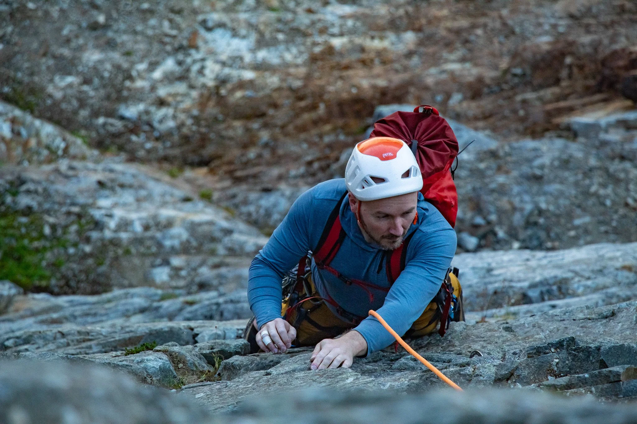
Jake coming up P2
I took over on the second pitch. There is definitely a little more run outs compared to some of the other routes in the area, and although it is on easier climbing, some suspect rock keeps it heads up. After only 120’ of climbing to the top of the second pitch, it already felt like we were much higher up. For such a short approach and not that long of a route, the angle of the face and the positioning gives it a much better feel.
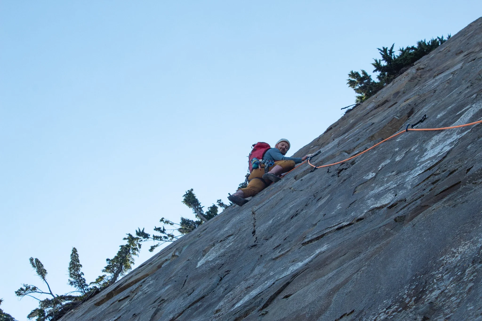
Jake took back over for the third pitch, the money pitch of the route. It has the best rock quality, best exposure and positioning, and the crux is only a few moves. The traverse is well protected, even for the follower, and the crux moves keep it interesting. Making my way across, we were less then 2 hours from leaving the car, and here I was high up looking over Snoqualmie Pass. Despite it being in the high 80’s, the shade and breeze on the North Face allowed me to barely break a sweat.
Right before making the crux moves.
The final pitch was a few harder moves off the anchor before it eases up to a dirty ledge and the final anchor just below the summit. This pitch had some loose rock that could fall directly on the belayer, so be careful. Looking down as I climbed, the face does look pretty cool. For how quickly we were on the top, it looked like it should have taken twice as long to get to that point. You can belay the second up and just above the anchor is the hiking trail and summit.
Just above the final bolt of the route.
Although there is a rap route, both Jake and I had done the walk off before, and it is not bad at all. There is a trail most the way that brings you down, and you can pick when you want to scramble down back into the talus field. This is definitely faster then doing 4 rappels. The rappel route looks good and clean though, so if you just want to practice some multi-pitch rappelling, or left stuff at the base, this would probably be a good place to do it.
A little side hilling and scrambling to get back to the approach route.
Overall, I think this route adds some new flavor and alternate options to the area. The biggest detractor is the loose rock, but that may clean up over time. It’s shorter than its counter parts across the way, and with lots of rock in the area, there is the possibility new routes may sprout up, adding in the ability to linkup lots of sport pitches. When it’s too hot, you want to avoid the crowds, or you are shorter on time, this is a great option in the area.
If I were to do this again, I would bring a 40m rope, and link the first two pitches. If you plan to do the raps, I would still link those two pitches, as you pull up 85% of your rope after you climb the first one. I don’t think it would be too difficult to go car to car in under 3 hours, or quicker, especially if you come out in a truck/high clearance SUV. It was around 1,700’ total elevation gain, and around 3.6 miles round trip for us.


